Cascadia Subduction Zone
The signs are visible up and down the Oregon Coast: those vivid blue-and-white tsunami markers, dominated by a massive cartoon wave, that spell out a very serious geologic reality — that earthquakes can trigger monster waves. But they might as well say, "Welcome to the Cascadia Subduction Zone."
Far beneath the sands of Oregon's beaches lies the Cascadia Subduction Zone, a place of intense friction, where two parts of the earth's crust, or tectonic plates, are slowly grinding together in an epic, drawn-out collision. One plate, the Juan de Fuca, is diving beneath the other, the North American, and it's happening all along the entire West Coast (from northern California to southern British Columbia), with stress building at the fault line, pushing the surface of the earth upward.
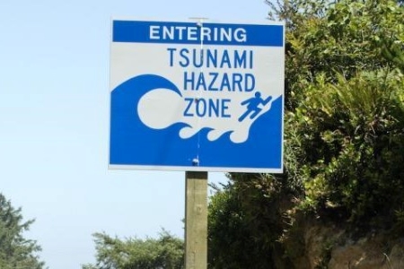
Image credit: OSU Extension Service
"The Oregon Coast is literally rising — we can measure that," geology instructor Hal Wershow says of the phenomenon. "Eventually it's going to snap…and that's the earthquake." A tsunami would follow, he explains. Then landslides would unleash. The scene will be a significant disaster, impacting many Oregonians. Though estimates vary on when this could occur, the Oregon Office of Emergency Management says there's a 37% chance that a 7.1+ magnitude earthquake could trigger within 50 years.
To that end, all of COCC's Geology classes promote a mindset of active preparedness. In fact, the Geology program awards an emergency "go-bag" to the student of the term who best documents their "Cascadia Event" readiness. (Experts advise to have enough emergency supplies assembled for two weeks without power and running water.)
It's something that Wershow views as a moral obligation to teach in this part of the country. "From what I understand as a geologist," he says, "it's going to alter our lives more than any single event will in this century, assuming it happens in this century." And it's an example of how science intersects with our everyday world.
Take a look at an interactive tsunami evacuation map, provided by the Northwest Association of Networked Ocean Observing Systems.